This assessment provides an evidence-based analysis of current and projected climate hazards affecting Kyegegwa District, with a particular focus on host communities and the Kyaka II Refugee Settlement. It examines climate trends, seasonal drought, flooding, rainfall variability and rising temperatures, using geospatial analysis, remote sensing and climate modelling.
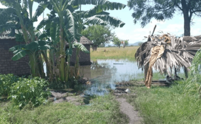
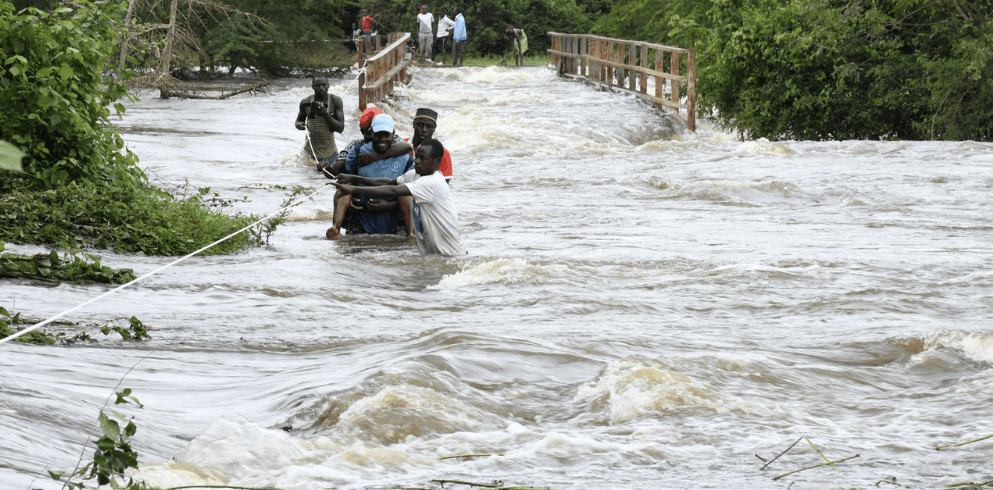
The assessment finds that seasonal drought remains a major climate hazard, with rainfall deficits and vegetation stress affecting agriculture, pasture and water availability. Although annual rainfall is projected to increase by mid-century, rising temperatures and higher evapotranspiration are expected to intensify heat stress and dry-season water stress. Flooding presents a more localized risk, particularly in Kakabara, Hapuuyo, Kasule and Ruyonza, as well as low-lying areas within Kyaka II.
The findings highlight the need for targeted climate adaptation, including climate-smart agriculture, improved water management, early warning systems, sustainable natural resource management and resilient settlement planning. The assessment supports district authorities, humanitarian and development partners in strengthening climate resilience for both refugee and host communities.
Pdf reader will load below