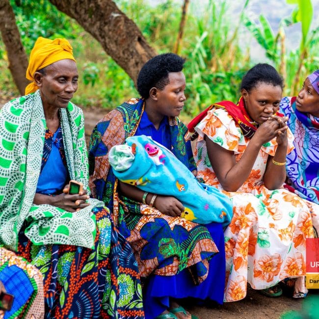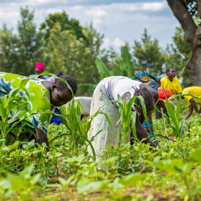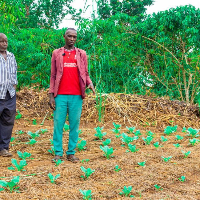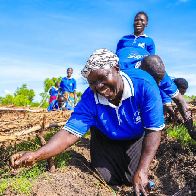

This Climate Hazard Assessment evaluates historical climate trends and future projections (SSP2-4.5 scenario) for Terego District, Uganda, home to over 323,000 residents and 76,500 refugees. It details how climate variability threatens local rain-fed agriculture and natural resources.
Key insights include:
- Climate Projections: Mean annual temperatures are expected to rise from 25.5°C to 28.2°C by mid-century, exacerbating soil moisture loss despite moderate rainfall increases.
- Drought Hazards: Drought index monitoring reveals severe vegetation stress in Odupi, Omugo, and Imvepi Refugee Settlement during critical crop growing seasons.
- Flood Vulnerability: Approximately 2.6% of the district faces high flood risk, primarily in low-lying areas near the Enyau River, disrupting infrastructure, farms, and sanitation.
The report guides humanitarian and development actors in building local resilience and disaster preparedness.
Pdf reader will load below