This report assesses the climate hazard vulnerability of Koboko District, Uganda, a critical border region hosting over 31,000 formal and self-settled refugees who depend heavily on rain-fed agriculture. Historical data and mid-century projections (SSP2-4.5) reveal a district wide warming trend of up to 2.8°C and an increase in annual rainfall to 1,587 mm.
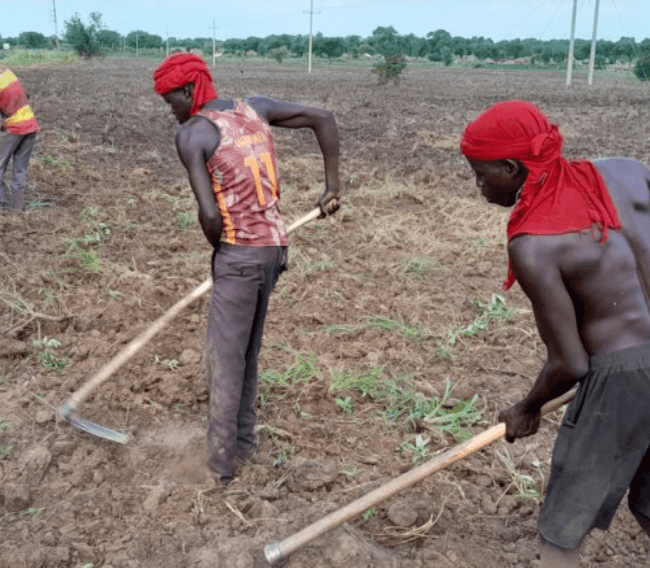
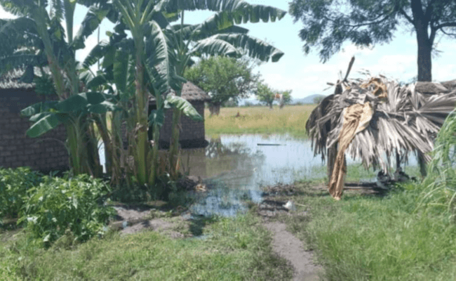
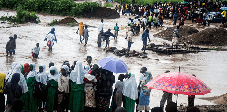
However, rising heat and evapotranspiration are driving overlapping risks of severe seasonal drought—causing widespread crop and vegetation stress in sub-counties like Lobule, Ludara, and Kuluba—and localized flooding in urban centers and low-lying refugee zones near the Atu and Kochi rivers.
Ultimately, the findings emphasize an urgent need for early warning systems, climate-smart agriculture, and structural upgrades to protect both host and displaced communities.