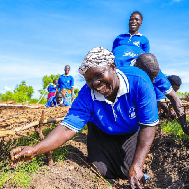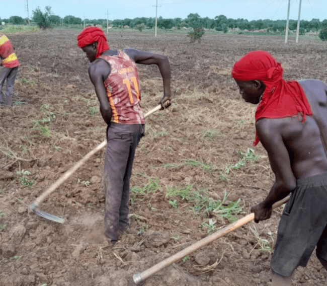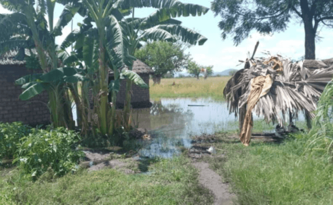
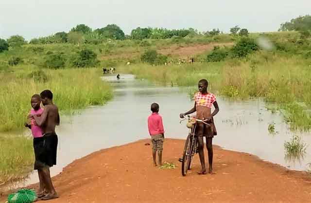
This report evaluates the spatial distribution, historical trends, and future projections of climate hazards—specifically seasonal droughts and localized flooding—across Lamwo District, Uganda. Utilizing remote sensing data, index analysis (SPI and VCI), and climate modeling under the SSP2-4.5 scenario, the assessment examines how rising temperatures, rainfall variability, and environmental degradation impact local agrarian livelihoods, cropland, and refugee-hosting areas such as the Palabek Settlement.
Pdf reader will load below