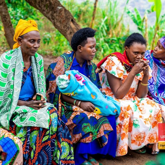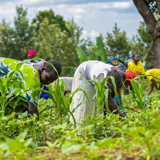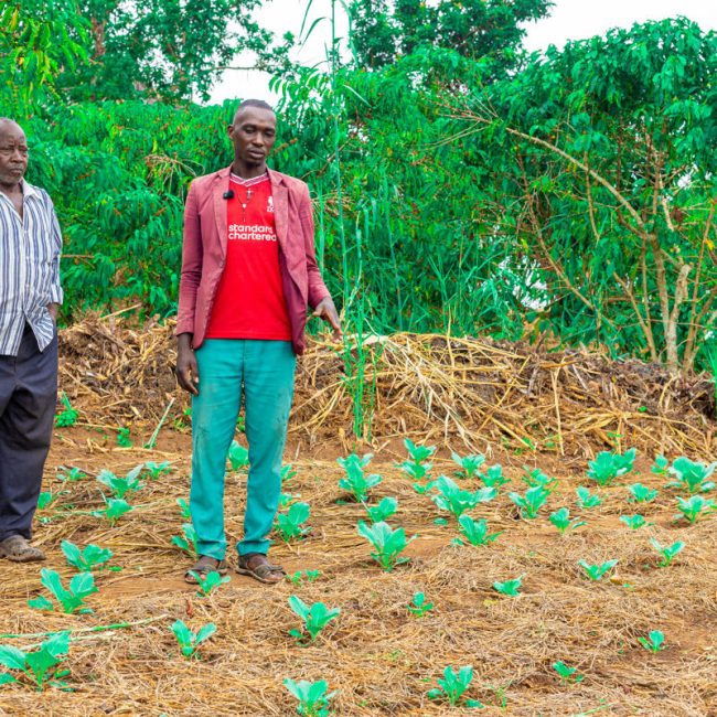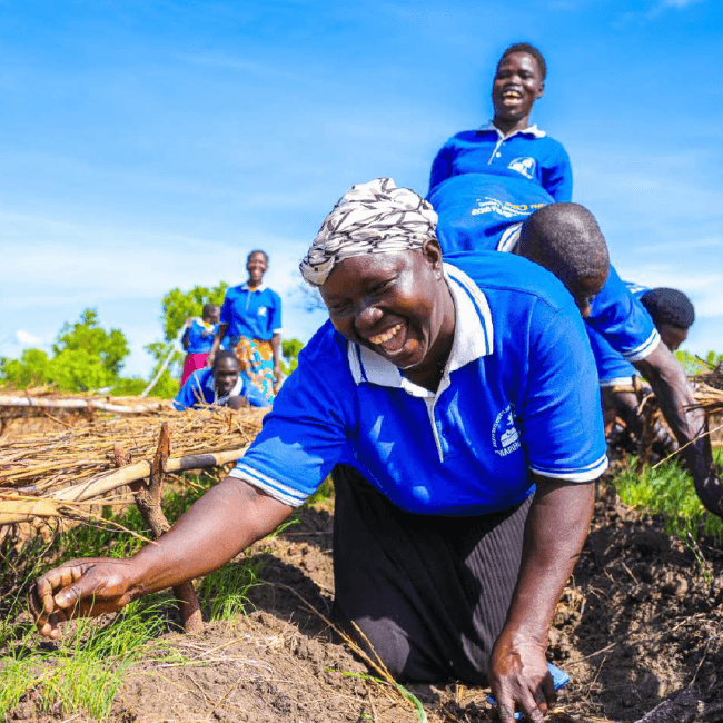
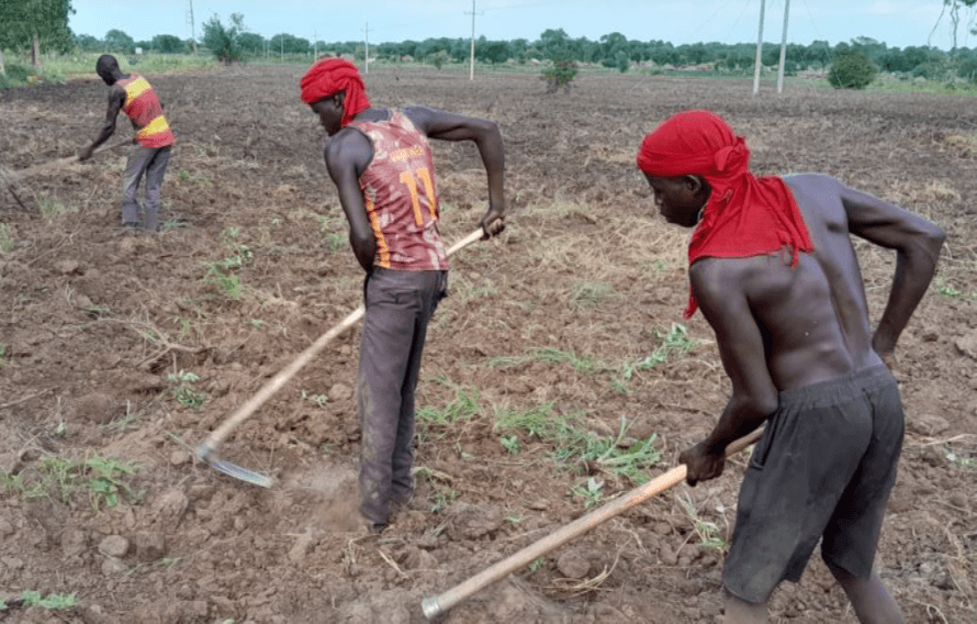
This climate hazard assessment evaluates drought, flooding, and heat stress risks across Uganda’s Yumbe District, home to the large Bidibidi Refugee Settlement. Combining geospatial mapping, historical climate data, and future projections, the report highlights how temperature increases and unpredictable rainfall strain local resources, agriculture, and infrastructure.
The study outlines key spatial vulnerabilities, showing severe dry-spell risks in eastern sub-counties and chronic flooding in low-lying southeastern areas. These findings provide evidence-based insights to help humanitarian agencies and local authorities implement targeted disaster preparedness and climate adaptation strategies.
Pdf reader will load below